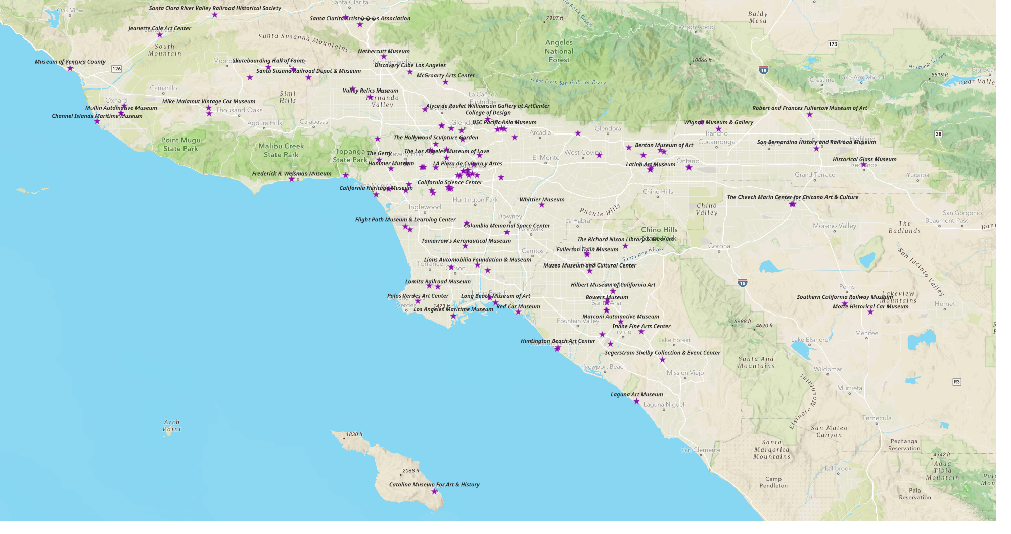
Museums in the Greater Los Angeles Area

I took an introduction to Geographic Information Systems class at my local community college. We learned to use ESRI's ArcGIS software, although the professor used the free and open source QGIS software when working with iOS machines.
When we got to the data visualization part of the course, we used outdated, and of course biased, government data for our disposable assignments. I wanted to make something I could use and share so I looked for an open database of museums in the Los Angeles area. I was surprised that I couldn't find anything and decided to create my own.
I started collecting museums and their websites on a spreadsheet. I created columns for their addresses. I used the address column to geolocate the museums on my map.
You can click on the title to see their location and a link to their website. I thought about adding their hours of operation, but decided these change too often so going to the website would be the best way to find when they are open and any special events that would impact their schedule.
ArcGIS includes software to turn maps into an interactive online app. I couldn't figure out how to embed my ArcGIS app in this Ghost post, but if you click the blue button, it will open the ArcGIS app of my map of Museums of the Greater Los Angeles Area. Click on any of the museums to find out more about them.
Click the blue button to view my Museums of the Greater Los Angeles Area map.